JSX9235: 2 legs
JSX9235, MTH to BTR, departing 1:20 PM EDT, Jul 10
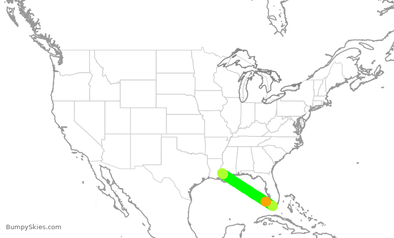
(Forecast data last collected at 4:00 AM EDT on Jul 10, 2026.)
Preliminary forecast. Check back within an hour or two of takeoff to see the most accurate route map and turbulence forecast for this flight.
- Takeoff from MTH at 1:20 PM EDT, Jul 10.
- 1:21 PM EDT: Light turbulence likely for the next 2 minutes.
- 1:23 PM EDT: Calm skies for the next 17 minutes.
- 1:40 PM EDT: Light turbulence likely for the next 4 minutes.
- 1:44 PM EDT: Calm skies for the next 1 hour and 13 minutes.
- 2:57 PM EDT: Light turbulence likely until you land.
- Landing at BTR at 3:00 PM EDT.

Nelly says: Bumpy skies can be scary, but they're not dangerous!
See our turbulence safety page for more information, including links to other resources for nervous fliers.
JSX9235, BTR to DAL, departing 2:40 PM CDT, Jul 10
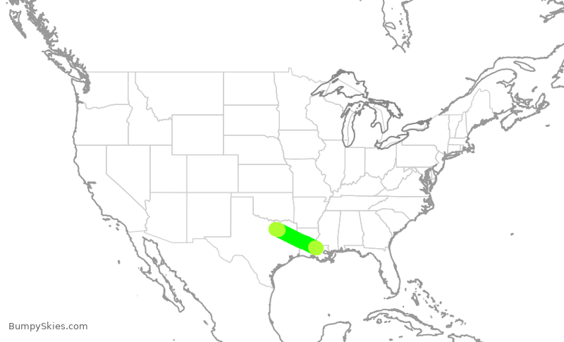
(Forecast data last collected at 4:00 AM EDT on Jul 10, 2026.)
Preliminary forecast. Check back within an hour or two of takeoff to see the most accurate route map and turbulence forecast for this flight.
- Takeoff from BTR at 2:40 PM CDT, Jul 10.
- 2:41 PM CDT: Light turbulence likely for the next 3 minutes.
- 2:44 PM CDT: Calm skies for the next 50 minutes.
- 3:34 PM CDT: Light turbulence likely until you land.
- Landing at DAL at 3:38 PM CDT.
Nelly says: Bumpy skies can be scary, but they're not dangerous!
See our turbulence safety page for more information, including links to other resources for nervous fliers.
📣 To stay informed about updates to BumpySkies, subscribe to the free newsletter:
You can also browse past newsletter issues.
BumpySkies is a free service that depends on your donations to stay online.
If you find this service helpful, please consider supporting BumpySkies on Patreon.
For best results, try it shortly before departure.
(Or, see a random upcoming flight's forecast.)